This document describes the update found in M.App Enterprise 2021 update 5.
Continue readingM.App X 2022
This document describes the latest enhancements, fixes, and system requirements for M.App X 2022.
Continue readingM.App Enterprise 2021 Update 4
This document describes the update found in M.App Enterprise 2021 update 4.
Continue readingM.App Enterprise 2021 Update 1
This document describes the update found in M.App Enterprise 2021 update 1.
Continue readingHexagon releases M.App Enterprise 2021
M.App Enterprise 2021 comes with augmentend 3D visualisation and dynamic app configuration.
Continue readingRelease guide for M.App X 2020 Update 2
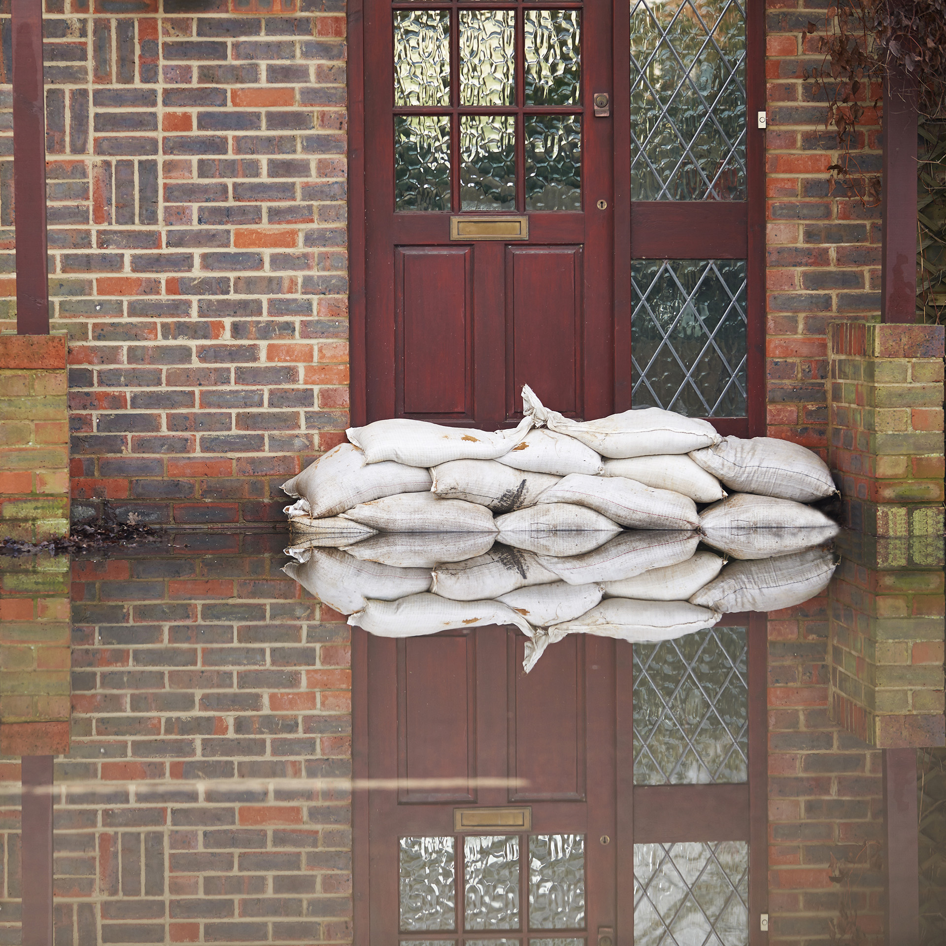
Preparing for the effects of flooding
With your own themes and local information on an interactive map, you can be prepared for the consequences of heavy precipitation. Be ready for the future.
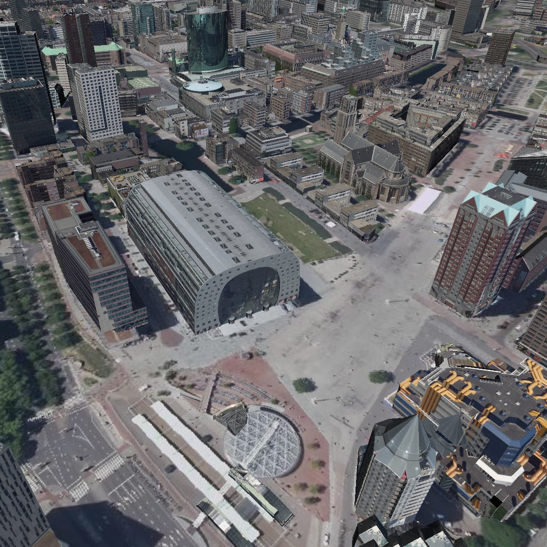
Continue readingVisualiseer uw omgeving in 3D via de browser
Zie hoe je data transformeert naar informatie met onze unieke 2D en 3D informatievoorziening. Begrijpbare informatie, kennis en inzicht voor iedereen binnen elk domein.
Continue readingMonitor de effecten van de klimaatadaptatie maatregelen
Met geo-data kunt u het beleid op klimaatadaptatie monitoren Wees relevant en help uw gemeente door continu inzicht te bieden rondom wateroverlast, verdroging, hittestress en meer.
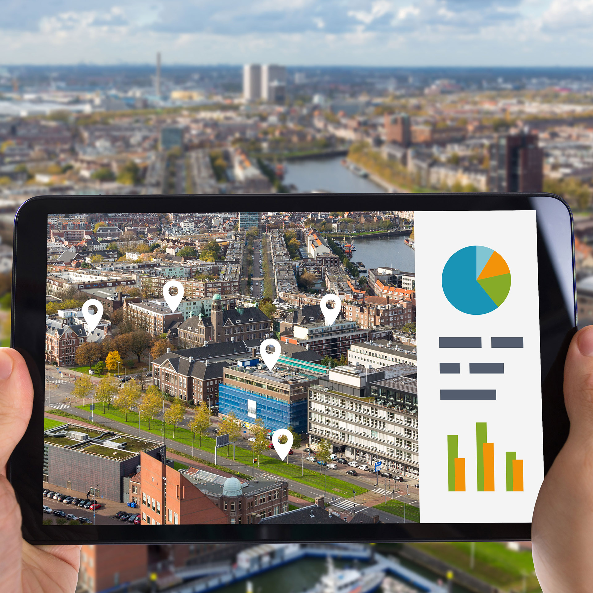
Continue readingHoe maak ik een geo dashboard?
Een kaart maken met uw eigen data hoeft niet moeilijk te zijn. Met M.App Enterprise creëert u snel en eenvoudig een Smart M.Spp met al uw eigen data. Plaats interactieve widgets erbij en uw informatie wordt meteen duidelijk weergegeven.
Continue readingCreëer je eigen 3D interactieve kaart met Feature Analyzer
Maak uw ruimtelijke informatie inzichtelijk en begrijpelijk, door deze op een 3D interactieve kaart te presenteren.
Continue readingCombineer de juridische, administratieve en fysieke werkelijkheid dashboards
Leer hoe u de juridische werkelijkheid en administratieve werkelijkheid combineert met de fysieke werkelijkheid. Zo kunt datagedreven beslissingen nemen, zowel in 2D als in #3D.
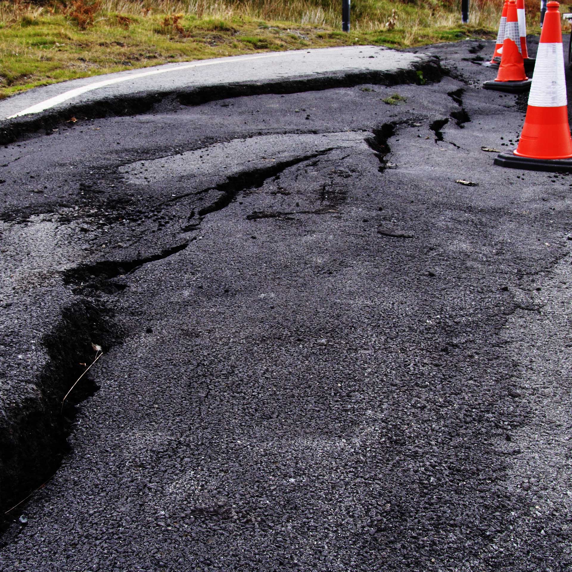
Continue readingInzicht in deformatie met Rheticus
Anticipeer op verzakking in uw gebied en voorkom schade aan infrastructuur, gebouwen en gewassen. Monitor de stabiliteit van uw ondergrond met geospatial technologie in uw regio en neem datagestuurde besluiten.
Continue readingRelease guide for M.App Enterprise 2019 update 4
This document describes the enhancements for M.App Enterprise. Although the information in this document is current as of the product release, see the Hexagon Geospatial Support website for the most current version.
Continue readingRelease Guide for M.App X 2020 update 1
This document describes the latest enhancements, fixes, and system requirements for M.App X. Although the information in this document is current as of the product release, see the Hexagon Geospatial Support website for the most updated version.
Continue readingHexagon Unveils M.App X 2020
Latest release delivers 3D display modes and accelerated visualization and analysis
Continue readingRelease Guide for M.App X 2020
This document describes the enhancements, fixes, and system requirements for M.App X. Although the information in this document is current as of the product release, see the Hexagon Geospatial Support website for the most current version.
Continue reading


