This document describes the updates found in ERDAS IMAGINE 2022 Update 2.
Continue readingGeoMedia 2022 update 1
This document describes the updates found in GeoMedia 2022 update 1.
Continue readingIMAGINE UAV 2022 Update 1
This document describes the updates found in IMAGINE UAV 2022 update 1.
Continue readingERDAS ECW plugin 2020 update 4 for ArcGIS Server 10.9.1 Windows
This document describes the updates found in ERDAS ECW plugin 2020 update 4 for ArcGIS Server 10.9.1.
Continue readingERDAS ECW plugin 2020 update 4 for ArcGIS Server 10.9.1 Linux
This document describes the updates found in ERDAS ECW plugin 2020 update 4 for ArcGIS Server 10.9.1.
Continue reading“Do not dig on the site of the old ditch”
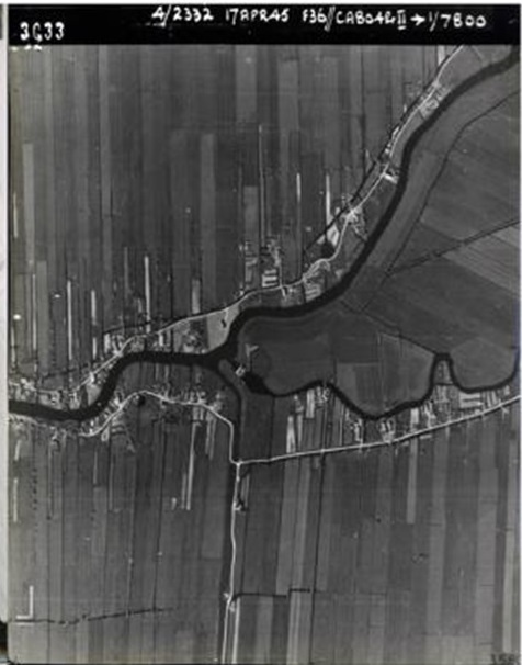
A statement that excited the current resident when he heard it. A search in the archives and in the history of the village followed. It turns out that quite a few WWII events took place there. It is a kind of village secret, but the current resident is researching in the archives and in the village for the history of the execution of a couple, a wrong couple.
Continue readingERDAS IMAGINE 2022 Update 1
This document describes the updates found in ERDAS IMAGINE 2022 Update 1.
Continue readingATCOR Workflow for IMAGINE 2022
This document describes the updates found in ATCOR Workflow for IMAGINE 2022.
Continue readingIMAGINE UAV 2022
This document describes the updates found in IMAGINE UAV 2022
Continue readingIMAGINE NoClouds 2022
This document describes the updates found in IMAGINE NoClouds 2022
Continue readingERDAS Extensions 2020 SP2 for ArcGIS 10.8.1
This document describes the updates found in ERDAS Extensions 2020 SP2 for ArcGIS 10.8.1
Continue readingERDAS IMAGINE 2022
This document describes the updates found in ERDAS IMAGINE 2022.
Continue readingERDAS APOLLO 2022
This document describes the updates found in ERDAS APOLLO 2022.
Continue readingGeoMedia 2022
This document describes the updates found in GeoMedia 2022.
Continue readingImageStation 2022
This document describes the updates found in ImageStation 2022.
Continue readingHexagon releases Power Portfolio 2022
The latest version provides users with automated workflows and improved information exchange
Continue readingERDAS IMAGINE 2020 Update 3
This document describes enhancements in ERDAS IMAGINE 2020 Update 3.
Continue readingERDAS IMAGINE 2020 Update 2
Vergelijk bestaande registraties met actuele sensor data
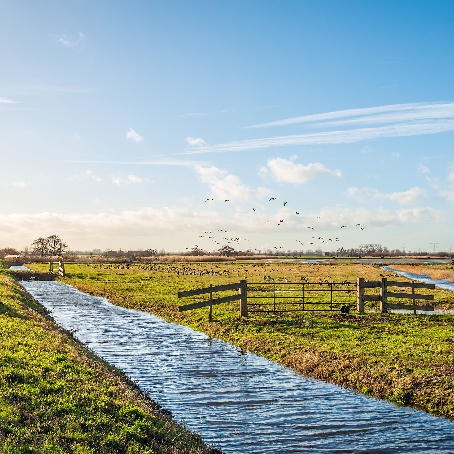
Bekijk met remote sensing data of uw bestaande registraties overeenkomen met de werkelijke ligging van watergangen in uw waterschap.
Continue readingVan beeldinformatie naar 3D visualisatie
Uw puntenwolken zijn van grote waarde! Krijg in uw gemeente grondgebied nog meer inzicht door de data te converteren naar digitale en 3D oplossingen.
Continue readingInspecteer geautomatiseerd uw dijkbekleding
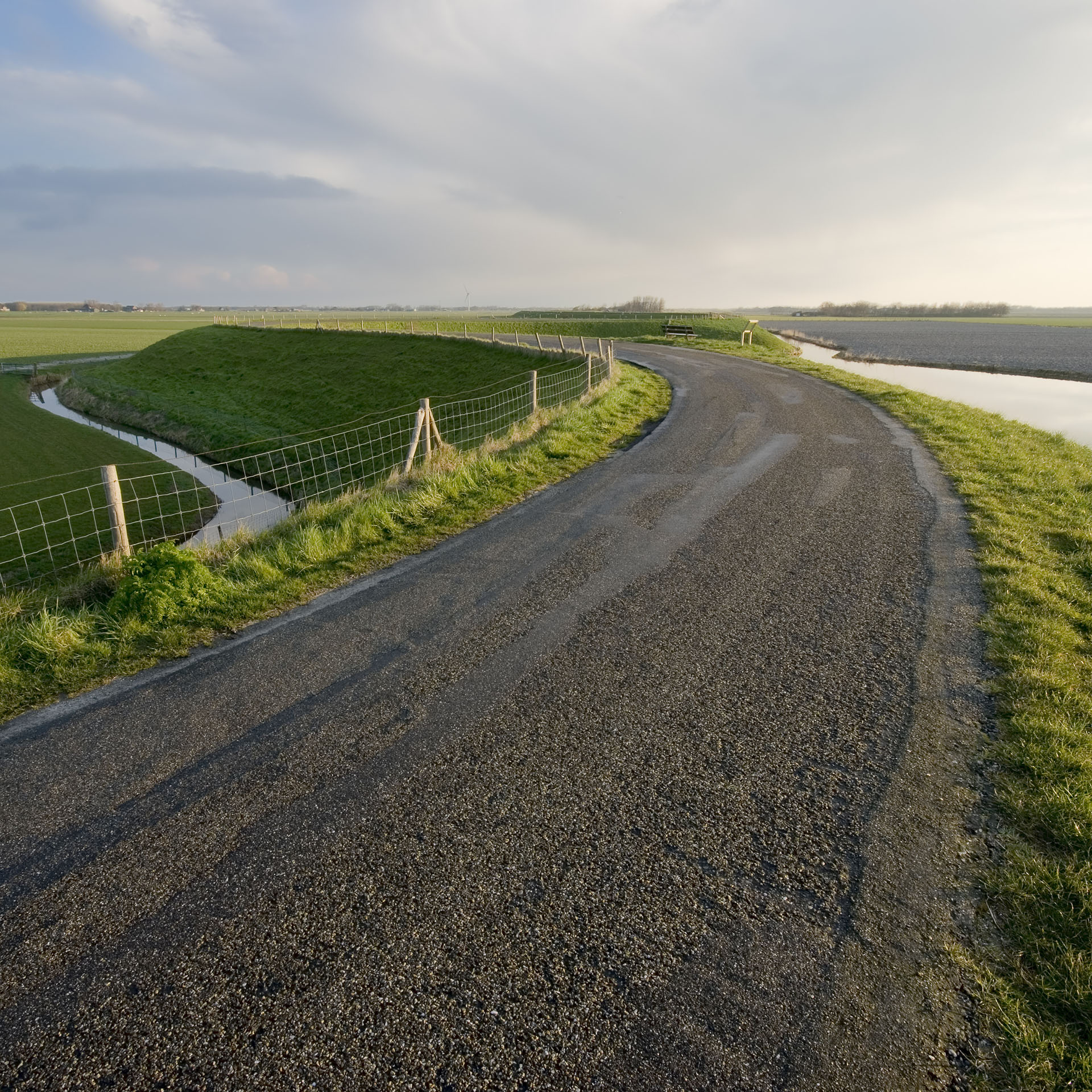
Dijken beschermen land tegen schade als gevolg van overstromingen. Daarom is het belangrijk om de integriteit van deze waterkeringen te garanderen. Dat kan geautomatiseerd met #RemoteSensing data en ruimtelijke modellen.
Continue reading


