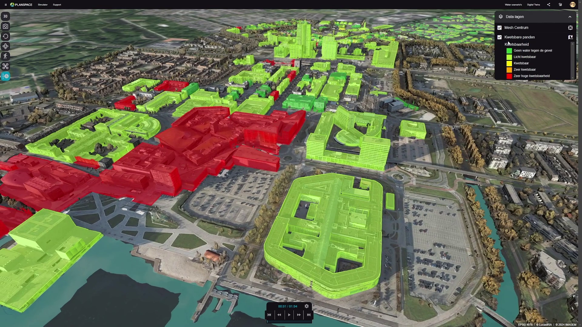
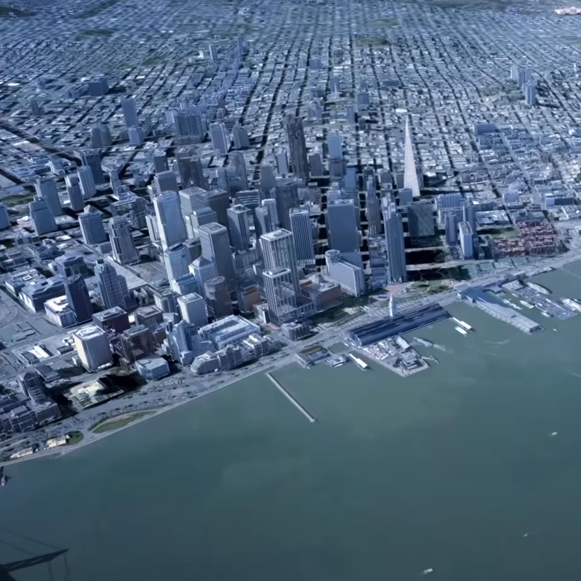
Digital twin predicts flooding and makes it visually clear. IMAGEM linked advanced digital twin technology to Nelen & Schuurmans’ hydrodynamic modeling software for the Municipality of Almere.
Continue readingUrban Digital Twins
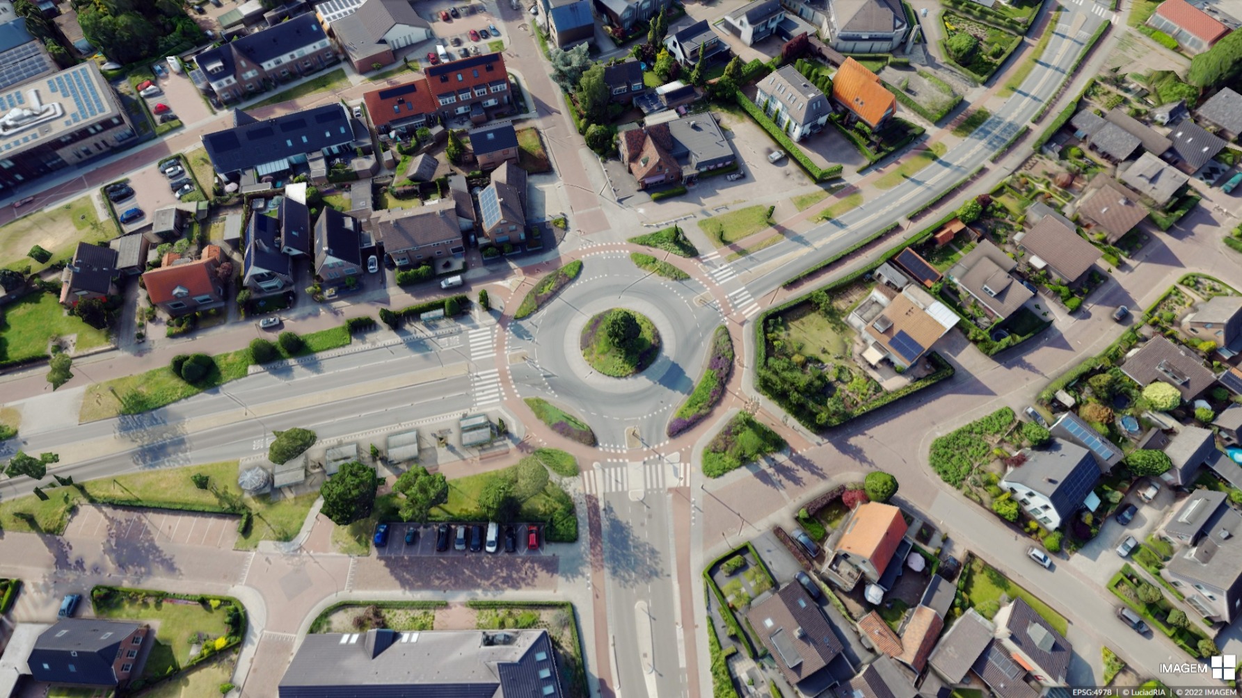
A true urban digital twin consists of multiple layers. The first is a digital replica – the digital city. Adding data from IoT creates the second – the connected city. Applying AI and simulations to that data produces the third – the intelligent city.
Continue readingDigital Twin with a BLK2Go Handscanner
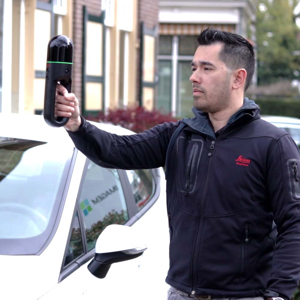
IMAGEM, in collaboration with Leica Geosystems, has made a solution available to integrate true-to-life and accurate images into a digital twin with the BLK2GO handheld scanner. We demonstrate it in the video below with scans of our office in Apeldoorn.
Continue readingLuciadCPillar 2021.1
This document describes the updates found in LuciadCPillar 2021.1
Continue readingLuciadFusion 2021.1
This document describes the updates found in LuciadFusion 2021.1
Continue readingLuciadLightspeed 2021.1
This document describes the updates found in LuciadLightspeed 2021.1
Continue readingLuciadRIA 2021.1
This document describes the updates found in LuciadRIA 2021.1
Continue readingMake Geospatial Matter 2021: a recap
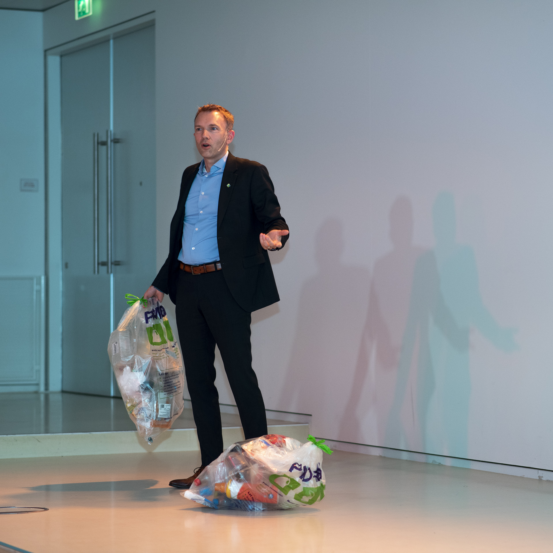
The government enforces the use of location data with its digital transformation agenda: digitizing (work) processes is not a luxury or frivolity, it is a dire necessity.
Continue readingHexagon announces Luciad 2021
The latest release delivers immersive 3D imagery and experiences
Continue readingHexagon releases Luciad 2020.1
The latest release delivers immersive 3D imagery and experiences
Continue reading3D informatie is meer traditioneel dan je denkt
Bekijk nu de webcast over 3D informatie en zie aan de hand van verschillende praktijkvoorbeelden hoe u in kleine stappen leert omgaan met 3D informatievoorziening.
Continue reading
