Data Automation
From raw data to information
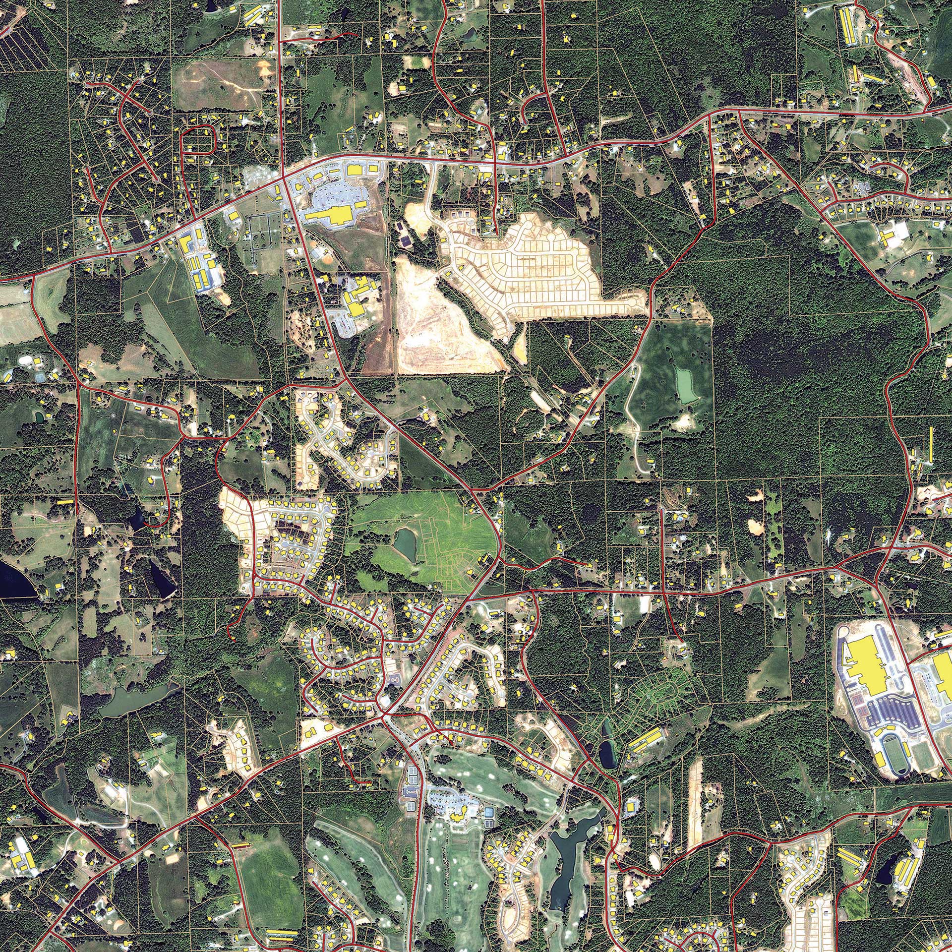
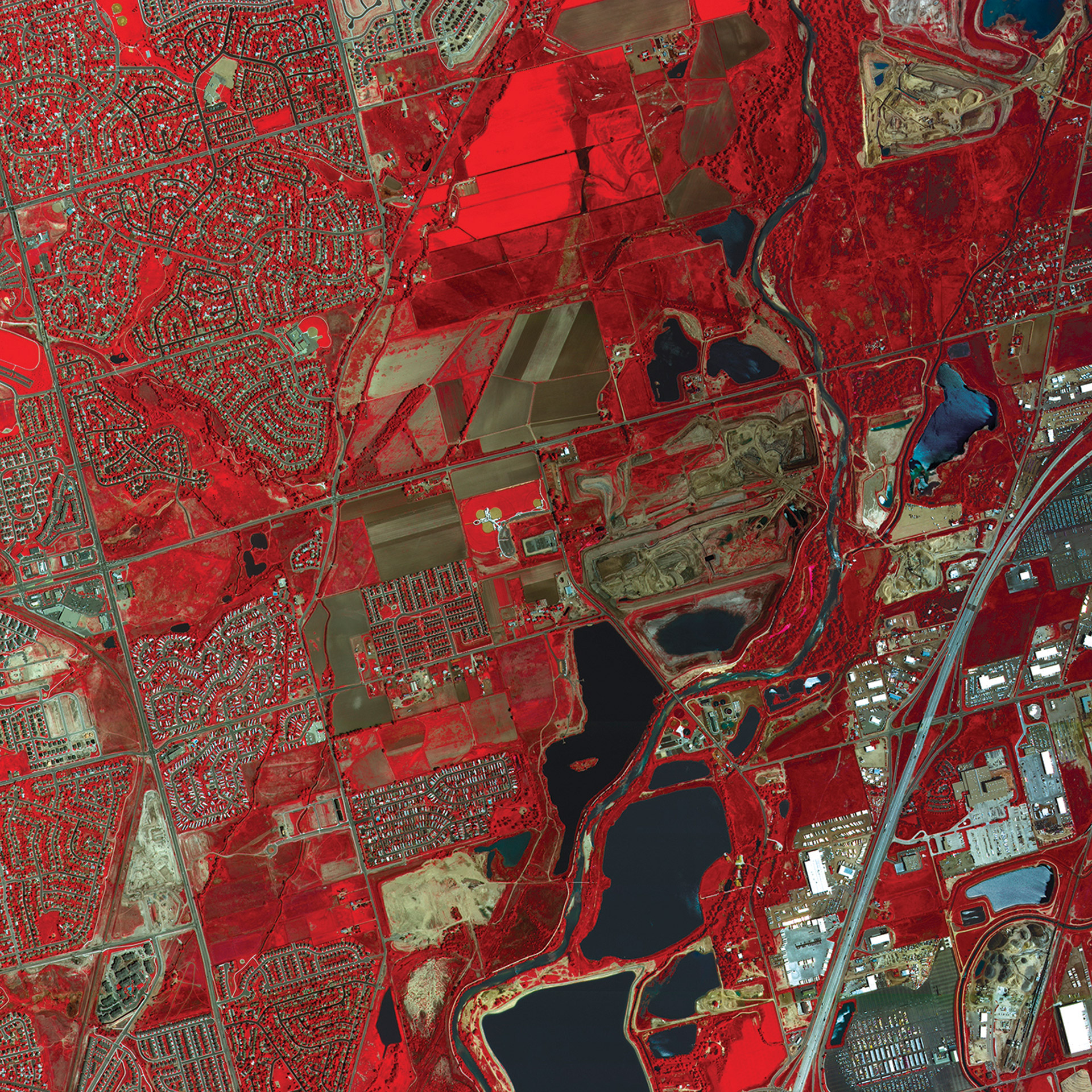
Automate processing of raw (sensor) data into meaningful information through spatial models and Machine Learning algorithms.

simplify
Automate processes by combining innovation with under-the-hood location data

produce
Collect, process, analyse, and understand geospatial data to yield actionable information

manage
Organise geospatial and business data into one centralised library and share with others easily

deliver
Deliver information through web and mobile, build and extend customised apps and solutions

All aerial photographs from 2007 and onwards are available as a service
Martijn Burgler, Waterboard Hunze en Aa’s, The Netherlands

Big Data Management
Organisations and government agencies often deal with large amounts of geographic data. This data must be regularly updated and distributed, while maintaining the performance, and should be ready for quick and reliabe sharing at all times. Our data automation solutions help save a lot of data capacity and time, which can be used for other important tasks.
Change Detection
The world around us is constantly changing. Keeping up with those changes can be challenging and time consuming. Save time, money and resources with our change detection solutions through data automation. Visualize changes clearly for analysis and automate the tracking process, so you can deploy your resources where they are really needed.

