Actionable information
Make data-driven decisions
Gain deep insights by connecting multi-source data into information sets. Get all the help you need for evidence-based decision making with interactive, cloud-based dashboards that fuse location-data with business analytics and statistics.

Multi-Source Data
Integrate data from multiple sources and formats to create a unified view

Interactive
Visualise data in 2D and 3D interactive dashboards

Flexibility
View and use dashboards from the cloud via mobile or desktop

Insights
Gain insights through custom reports to make smart decisions

The solution from IMAGEM enables us to monitor incidents and speed of subsidence in aging infrastructure
Sander Borghuis, Rijkswaterstaat, Ministry of Infrastructure & Water Management, The Netherlands
Citizen participation
Governments often face challenges in receiving timely, accurate, and streamlined information on problems experienced by their citizens. Why not share responsibility with the most valuable resources on the field – citizens? Crowdsourcing facilitates better governance. Go beyond simply responding to citizen reports, by leverage gathered data for deeper analysis and. Turn citizen data into valuable insights and actionable information. Learn how >>
Deformation measurement
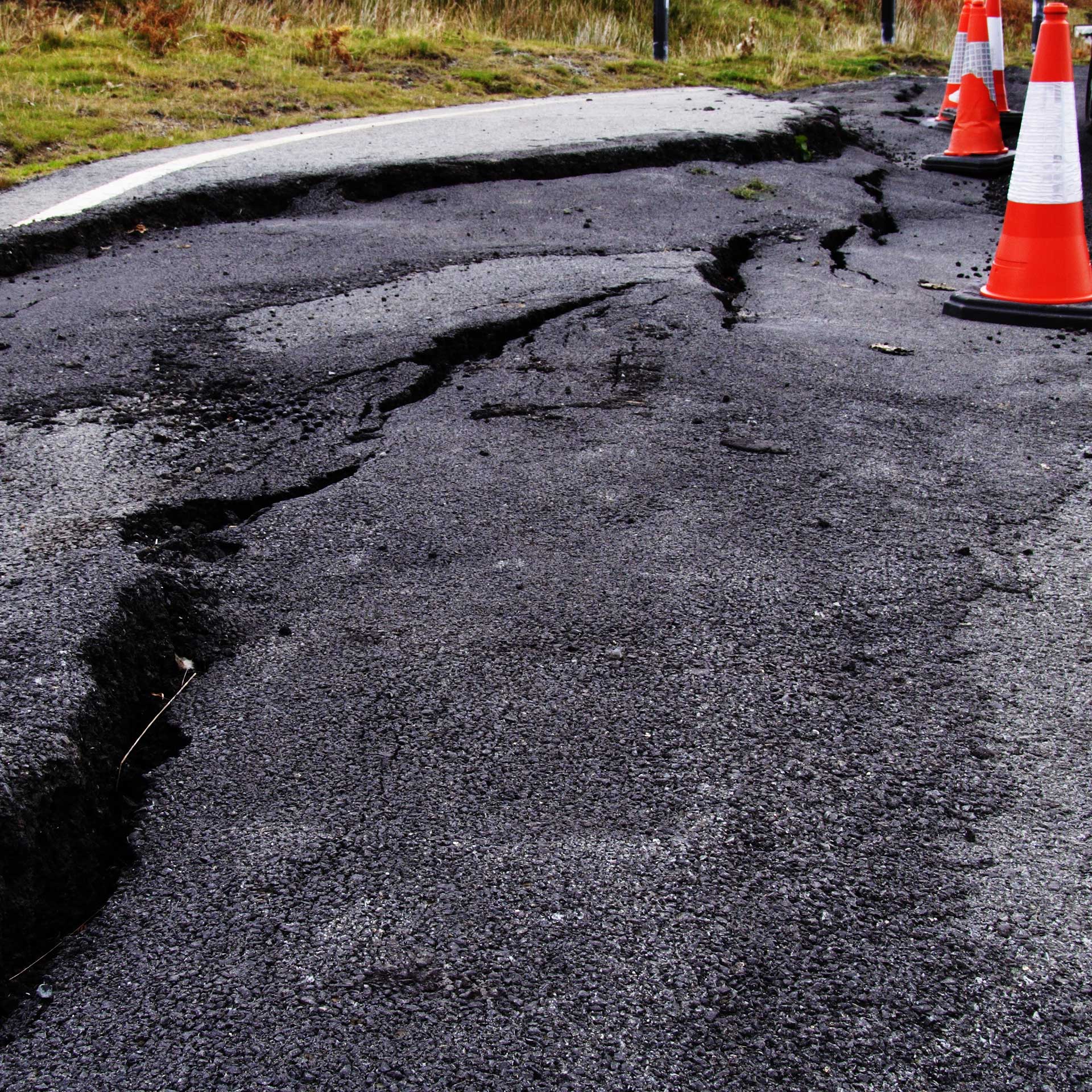
There is an acute need to monitor changes in the earth’s surface. Deformation in infrastructure is often caused by subsidence, but also by aging and overuse. Constant monitoring with satellite imagery and sensor data provides new and accurate data and actionable information for monitoring changes in paved surfaces. Our smart solutions fuse location data with a constant stream of multi-source data to ensure safety and avoid mishaps. Success story with a Dutch ministry coming soon >>


